

Summary
- Ranlytics is an established technology company that has developed unique mobile coverage measurement, monitoring, and analysis solutions.
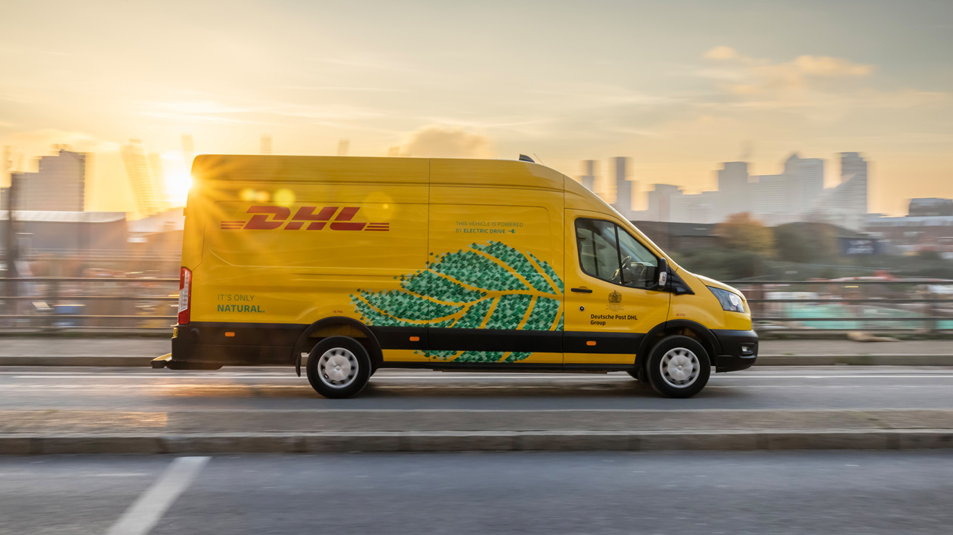
- Ranlytics and DHL are partnering to equip postal vehicles with technology that automatically and accurately measures all Deutsche Telekom, Vodafone, and TelefonicaO2 ,3G, 4G and 5G networks on every road and street driven by Ranlytics-equipped DHL delivery vehicles in the city area of Cologne.
- The resulting coverage maps are accurate at every individual address, and are the highest quality maps available in Europe.
Ranlytics and DHL are partnering to equip DHL delivery vehicles in Cologne with Ranlytics sensors to accurately and regularly measure and map mobile coverage and quality at every address in the city area.
All Deutsche Telekom, Vodafone, and Telefonica O2 3G, 4G and 5G networks are now being accurately and regularly measured in central Köln. The resulting mobile coverage maps are the most detailed and up-to-date available, and identify all areas impacted by lack of coverage, and by poor quality voice calls and data connectivity.
With DHL delivering parcels 6days a week, changes in coverage that inevitably occur over time are quickly and precisely identified.
As the German economy digitises, communities and businesses throughout the country are becoming more dependent on reliable mobile coverage. Access toe-commerce, remote learning and healthcare delivery, government e-services, connected vehicles, IoT networks, smart city services and smart farming infrastructure all rely on high quality and consistent mobile coverage.
But, mobile coverage maps simply aren’t accurate enough, and don’t provide mobile operators, governments, or customers with sufficiently - detailed coverage information to allow mobile operators to resolve coverage issues. This is because measuring coverage is complex, technically challenging, and very costly – so, the only option has been to rely on desktop predictions, and low-resolution crowd sourced data.
The mobile network measurement data collected by DHL and Ranlytics is accurate on every street travelled by DHL vehicles in the city area of Cologne, and is updated for every Deutsche Telekom, Vodafone, and Telefonica O2 3G, 4G & 5G network every few weeks. Our intuitive coverage maps are high resolution, and are available to both telecommunication engineers, and to non-technical people interested in coverage and quality, and comparisons of coverage provided by different mobile companies.


No additional carbon emissions are generated during Ranlytics’s revolutionary coverage testing, as the postal vehicles measure coverage as they traverse their daily routes. And as DHL progressively electrifies its fleet, overall carbon emissions will be further reduced.
https://www.ranlytics.com/things-we-do/saturation-drive-testing
